 Eagle Feathers #290 – Historic Ways
By Bob (Monty) Doherty
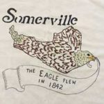
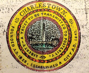
In 1842, she found her way to freedom. For two centuries, our city had been part of Charlestown which at one time encompassed ten Middlesex County towns. Woburn was the first to branch off in 1642 and two hundred years later Somerville was the last to break away.
*
 *
*
Since then, she has had it her “way.” Simply described, a way is a path, road, track, street or river utilized for direction. One of the most historically famous was the ancient Appian Way used by the Romans in 312 BC to conquer Southern Italy.
Today, ways can be found crisscrossing our city at all angles. The ways of Somerville are numerable. They can be found in the form of bikeways, parkways, railways, waterways and more.
- Somerville/Charlestown’s first road was today’s Washington Street, or as it was originally called, The Way to Newtowne. It was the original name of Cambridge.
- The second road was today’s Broadway, initially called Menotomy Way, or the road to today’s Arlington.
- This state’s first shipway was used July 4, 1631 at Ten Hills to launch the colony’s first vessel, The Blessing of the Bay.
*
 *
*
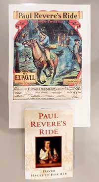
- The oldest way, or Paul Revere’s original route, was the way to Newtowne.
- One of today’s newest is Assembly Square’s Artisan Way.
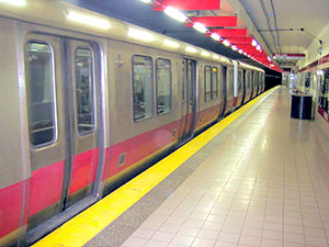
- The deepest way is the MBTA’s Red Line Davis Station located beneath its Square.
*
 *
*
- The highest way in the city is also the busiest, fastest and slowest depending on whether you’re speeding or crawling along. It is Massachusetts’ highway Route 93 and is utilized by millions as they pass through the heart of East Somerville.
- You can traverse Somerville by way of McGrath Highway, Rev. Nazareno Properzi Way, Lincoln Parkway, Mystic Valley Parkway, Alewife Brook Parkway and end in an enlightening way at Tufts Parkway and Tufts University’s Latin Way. Any way you look at it, there are many “ways” in Somerville.


Reader Comments